Central Valley
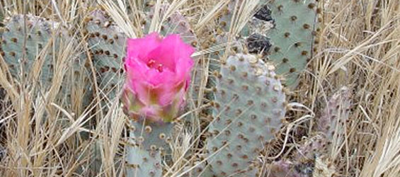
The Central Valley is a large region that spans the heart of California from Corning and Chico in the north to Bakersfield in the South. Home to the greatest garden in the world, the valley is one of the world’s most productive agricultural regions supplying fully one-quarter of the food America eats. Over 300 crops are grown in this incredibly fertile pocket of land.
One of the fastest growing regions in California, the valley has about 6.5 million people living in it today. The largest city is Fresno, followed by Sacramento, the state capital. Of the 49% of mostly federally owned land in California there is relatively little government-owned land in the Central Valley. Land on the valley floor is predominantly farmland and is almost entirely privately owned.
The Central Valley with its many wetlands is a great place for bird watching. Large river systems provide ample opportunities for boating and fishing. Bicyclists will enjoy the 33 mile American River Bike Trail. Colonel Allensworth State Historical Park is one of many State Parks to visit. Some of the valley’s popular destinations include Old Town Sacramento, Downtown Stockton Waterfront, Wild Water Adventure Park in Clovis, Sacramento Wildlife Refuge near Willows, and the California Delta.
With the valley filled with orchards, vineyards and farms, the cuisine is fresh and the wine abundant. The Lodi region is best known for its full-bodied Old Vine Zinfandel wines. Home to many of California’s finest museums and galleries, the valley offers a wide variety of live entertainment, events and attractions welcoming visitors year-round.
HISTORY
Native American tribes in the vast Central Valley included the Konkow, Nisenan, Patwin, Miwok, and Yokut. The tribes developed an early agriculture in the area, burning the grasslands to encourage growth of edible wild plants, especially oak trees. The trees provided acorns which were harvested to make edible flour. In the 1820’s European Americans were lured to the area by the beavers found in the inland streams. After receiving a land grant from the Mexican government in 1839, John Sutter created a flourishing agricultural empire and the first non-Indian settlement in the Central Valley. The settlement became what is now Sacramento, the state capital since 1854. Before Sacramento’s extensive levee system was in place, the area flooded quite regularly. Because of this, the city’s streets were raised a level. Most of the sidewalks and storefronts have been filled in, however many tunnels still remain throughout Old Sacramento and the downtown area. The Valley has seen waves of immigration, from Indian tribes to Spanish explorers and rancheros, farmers from the Eastern US, Portuguese ranchers from the Azores, Dust Bowl refugees, Mexican laborers, Southeast Asians, to a burgeoning Sikh community, and many others. The Bakersfield area has traces of some of the earliest immigrants with stone tools that date back to around 8000 to 12,000 years ago.
GEOGRAPHY
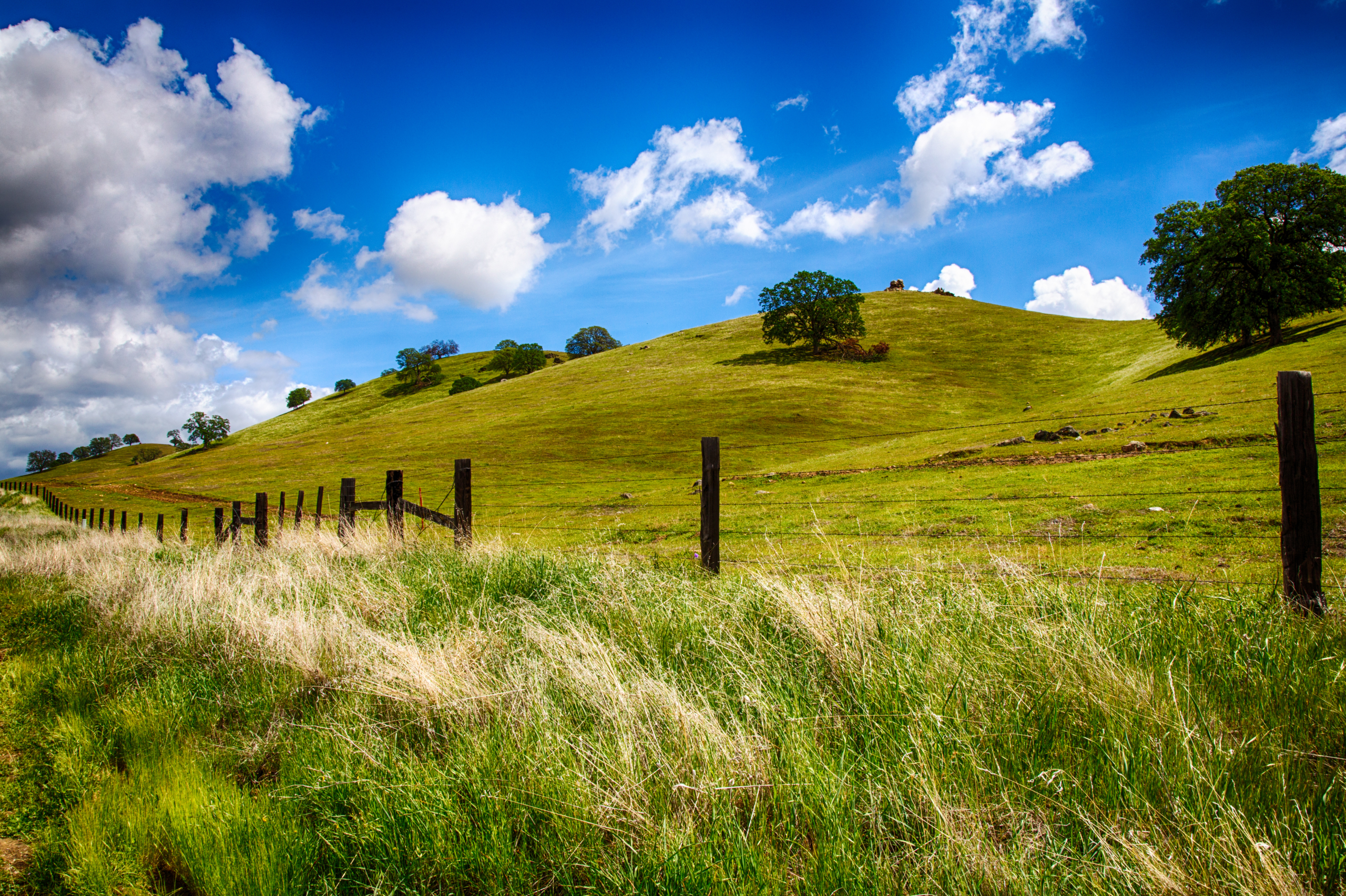
Lying between the Coast Range and the Sierra Nevada, the Central Valley stretches for nearly 500 miles from north to south. The valley is about 45 miles wide, 120 miles wide if the gently sloping foothills are included. The flatness of the valley floor contrasts with the rugged hills or mountains that are typical of most of California’s terrain. Some farmland within the delta system, (a large expanse of interconnected canals, streambeds, sloughs, marshes and peat islands,) actually lies at or below sea level and other elevations of the valley only reach three to four hundred feet above sea level. Before California’s massive flood control and aqueduct system was in place, the annual snow melt and runoff from the mountains turned much of the valley into an inland sea. The Sutter Buttes, the remnants of an extinct volcano, is the one notable exception to the flat valley floor. There are two major river systems in the Central Valley, the Sacramento River and the San Joaquin River. The Sacramento River and its tributaries, the Feather River and American River, flow southwards for about 447 miles through the Sacramento Valley. In the San Joaquin Valley, flowing roughly northwest for 365 miles is the San Joaquin River with its tributaries the Merced River, Tuolumne River, Stanislaus River and Mokelumne River.
WEATHER/CLIMATE
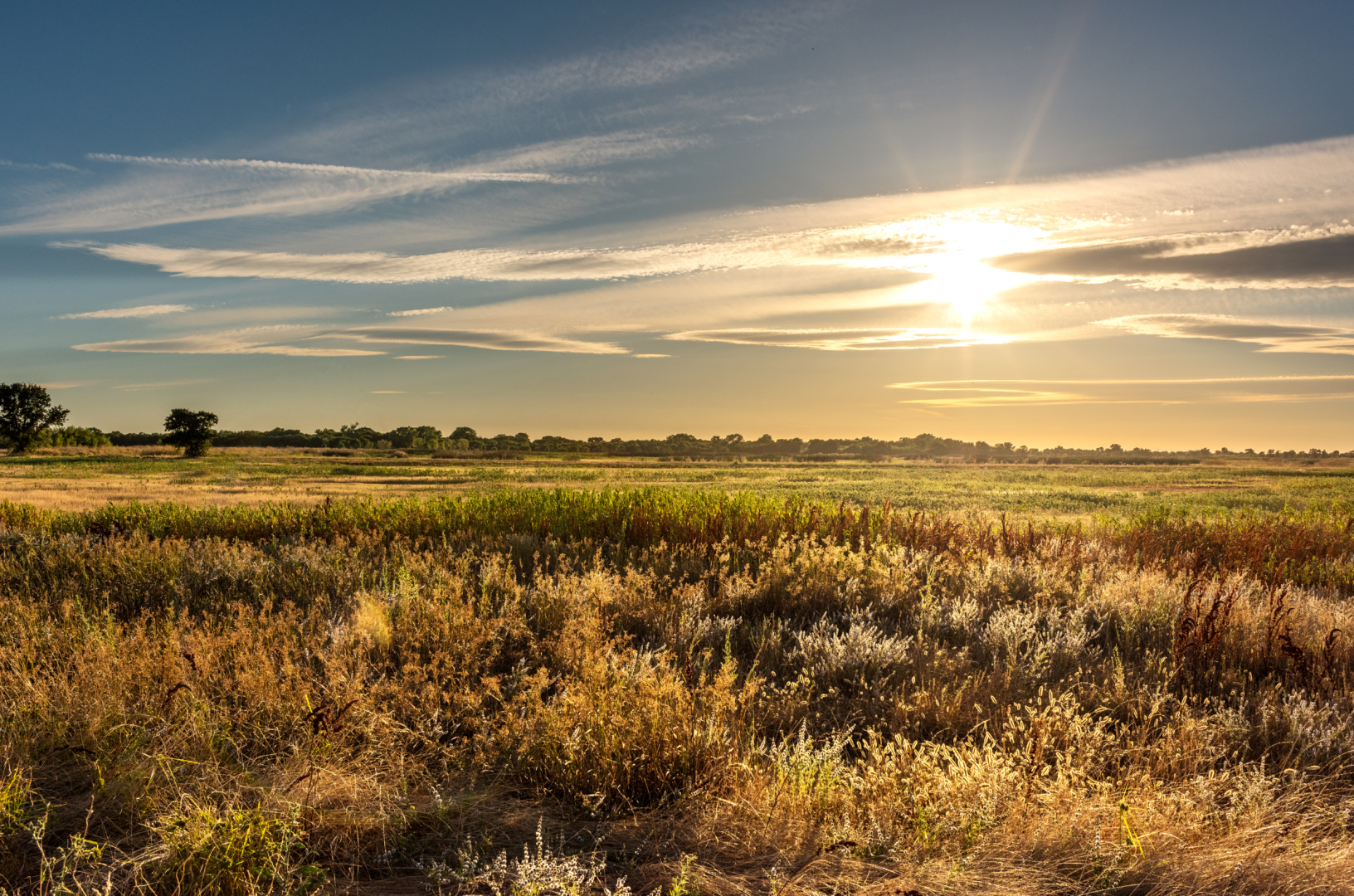
The Central Valley has a hot Mediterranean Climate; hot and dry during the summer and cool and damp in winter. Tule fog, a thick ground fog, can settle in the length of the valley during the late fall and winter. Summer temperatures typically reach around 90 °F (32 °C) with occasional heat waves bringing temperatures as high as 115 °F (46 °C). The rainy season is from mid autumn to mid spring. At times during the late summer there are thunderstorms, mainly in the southern half of the San Joaquin Valley but occasionally in the Sacramento Valley. The northern half of the Central Valley receives greater precipitation than the semi-desert southern half. Snow is extremely rare but frost does occur from time to time in the winter months.